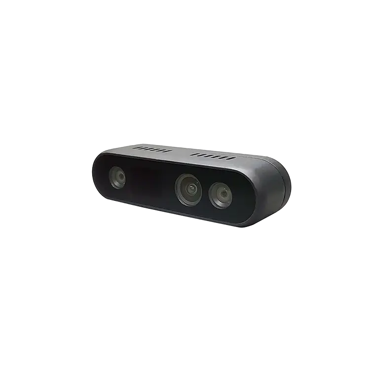
A navigation module is used when a real-time system needs more than raw sensor measurements to understand where a moving platform is, how it is oriented, and how its motion is changing.
That information becomes particularly important when tracking results feed directly into steering, stabilization, path following, or machine-control decisions.
Therefore, the choice is more architectural than product-based for engineers. A navigation layer can convert data from several sensors into a meaningful estimate of a platform’s location, velocity, or attitude if these values are required for continuous controller action.
Information on location, speed, direction, and timing may be obtained in real-time using navigation systems, which are defined similarly by IEEE and comprise sensor, processing, and control interfaces.
The Control Loop Determines the Need
A tracking system can record location without necessarily controlling a machine. A control system, however, needs a continuously updated description of the machine’s state. That distinction determines when a navigation module becomes useful.
Consider an autonomous vehicle following a planned trajectory. The controller needs to know whether the vehicle is ahead, behind, or displaced from the intended path, while also accounting for its current heading and motion.
Research on autonomous vehicle navigation shows how GNSS and INS measurements can be combined before navigation information is passed to a main controller and steering system.
The navigation layer therefore sits between physical sensing and control logic. It converts measurements into information that downstream software can use without requiring every control algorithm to independently process GNSS, inertial, or other sensor data.
Where Real-Time Navigation Becomes Essential?
Real-time navigation becomes particularly relevant when movement is continuous and control decisions depend on changing spatial conditions. Autonomous ground vehicles, drones, marine robots, automated port equipment, and machine-control platforms are representative examples.
Archimedes Innovation lists autonomous driving, port and mining automation, marine robotics, aerial mapping, and inspection among the applications for its M992-INS dual-antenna GNSS/INS positioning board. Its broader product portfolio also combines positioning, perception, attitude sensing, GNSS receivers, and AI computing platforms for autonomous systems.
In these systems, autonomous navigation is not simply about displaying coordinates. The estimated state can become an input to trajectory tracking, motion planning, steering, stabilization, or other automated functions. The closer the navigation output is to the control loop, the more important update timing, continuity, and sensor integration become.
What the Module Must Deliver to the Controller?
A useful navigation layer should provide the state variables required by the application rather than merely producing a geographic position. Depending on the architecture, these can include position, velocity, orientation, and timing information.
Sensor fusion is often central to that task. GNSS provides an external positioning reference, while inertial sensing supplies motion information independently of satellite signals. Their characteristics are complementary: GNSS can correct accumulated inertial errors, while inertial measurements can maintain useful navigation information during short GNSS interruptions.
Timing also matters because measurements from different sensors must correspond to the same point in time. For demanding control applications, synchronization and update rate can influence how accurately the controller interprets the current state.
Research reviewing integrated navigation for automated driving identifies real-time operation, high update rates, time synchronization, and robust handling of measurement errors as important design considerations.
When GNSS Alone Is Not Enough?
A standalone GNSS receiver can be appropriate when the application primarily needs position and operates under favorable signal conditions. The architecture becomes more demanding when satellite visibility is interrupted, motion is dynamic, or orientation information is required.
Urban structures, tunnels, ports, and other environments can create signal blockage or multipath effects. In such cases, combining GNSS with inertial or other sensors can provide a more continuous navigation solution.
The Institute of Navigation notes that autonomous vehicle positioning must remain dependable because navigation, planning, and decision functions rely on localization.
That is where a dedicated navigation module can reduce integration complexity. Instead of making the application controller interpret every raw measurement, the navigation subsystem can perform fusion and state estimation before delivering control-ready information.
How Engineers Should Position the Navigation Layer?
System architects should first define what the controller needs and then determine which sensors and processing functions belong inside the navigation layer. A vehicle requiring position, heading, and velocity may need a different architecture from a stationary tracking system that only records coordinates.
Archimedes Innovation’s M992-INS illustrates this integrated approach: its product page describes a dual-antenna tightly coupled GNSS/INS board intended for applications including machine control and autonomous driving, with high-frequency positioning and orientation outputs.
Interface design should also be considered early. Sensor synchronization, communication protocols, processing latency, mounting relationships, and access to raw or processed data can affect how effectively navigation information reaches the control software.
The goal is not to add another component simply because an application is autonomous; it is to establish a reliable state-estimation layer between sensing and action.
Turning Sensor Data Into Control-Ready State Information
The clearest answer to the title is this: a navigation module is used when real-time tracking must become actionable information for a control system. If a machine only needs occasional location logging, a dedicated navigation layer may be unnecessary. If its behavior depends continuously on where it is, how fast it is moving, or which direction it is facing, the requirement changes.
Archimedes Innovation approaches this requirement through a broader positioning, perception, and control portfolio rather than treating navigation as an isolated function. Its product range includes positioning sensors, attitude sensors, GNSS/INS equipment, perception sensors, and AI computing hardware designed for autonomous applications.
Consequently, B2B engineering teams should start with the control loop when making a practical decision: first, figure out what the controller needs in terms of state information, then establish how reliable that information has to be, and lastly choose a navigation architecture that can handle providing it. Rather than treating it as a general‑purpose tracking component, system design should tie the navigation layer to practical system requirements.